

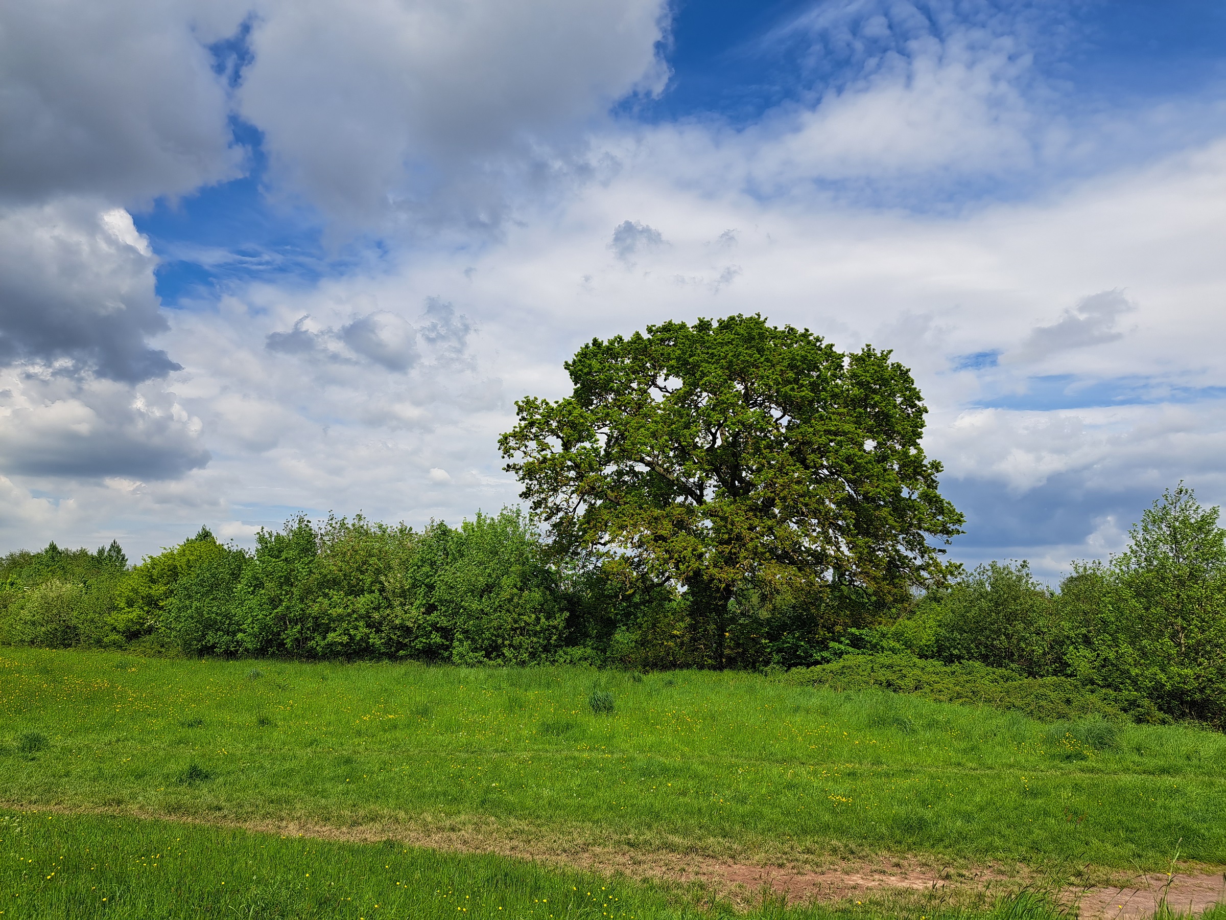
With a mixture of sunshine and showers expected for many through this weekend, there are some tentative signals highlighting the possibility of some warmer weather developing later next week, but what can we say at this range?
Recent weather
The UK provisionally recorded its sixth wettest July on record, with a succession of low pressure systems bringing unseasonably wet and windy conditions. While August has started fairly unsettled for many, Thursday (10 August) provided a brief glimpse of warmer weather for many. The 28.4°C recorded at Wellesbourne on Thursday was the highest temperature recorded in the UK since 8 July. But will we see warmer weather again?
Looking further ahead
The forecast for the weekend and early next week at least is for unsettled conditions to be dominant, with a mixture of sunshine and showers for many, as well as some heavier periods of rain for some.
However, during the latter half of next week, signals are emerging for the possibility of warmer weather returning for at least parts of the UK, though the extent and longevity is still somewhat uncertain. There are also a range of other possible outcomes with lesser levels of likelihood.
Met Office Deputy Chief Meteorologist Rebekah Sherwin said: “While there’s an unsettled outlook for this weekend and the start of next week, our long-range models are starting to signal the possibility of some warmer, more settled, weather developing later next week.”
The Met Office uses ensemble forecasting to determine the likelihood of certain weather scenarios occurring. This means that the computer model is run a number of times from slightly different starting conditions to give an indication of the more likely or less likely scenarios.
Rebekah said: “What we’re seeing in our ensemble forecasts for later next week is a likelihood of some warmer weather developing, at least for parts of the UK. The most likely scenario is for high pressure to the east and low pressure to the west, which would allow a southerly flow to develop and draw warmer air from continental Europe over the UK.
“With this scenario, temperatures into the low 30s Celsius are possible in the southeast towards the end of next week or over the weekend. What’s less clear from our models is how far north this warmth may spread from the southeast, how long it will last and the exact dates that warmer weather might exert its influence.”
Although some milder conditions are looking likely in the current outlook, it is not a similar signal to that of the record-breaking temperatures the UK experienced last summer, with anything that does develop likely being a more typical UK summer warm period, especially in the southeast.
In order to be an official heatwave, any warm period would have to reach specific thresholds for three consecutive days. At present, it’s unclear how long-lasting any warmer weather might be later next week and it could fall short of the heatwave threshold in any given place.
Warmth isn’t the only possibility
Despite the signals for warmth to be likely later next week, there are still a small number of model runs that retain more unsettled weather for the UK.
Rebekah explained: “While some more settled and warm weather is the most likely scenario, at least for a few days, there are still a few outliers in our model runs that retain a more unsettled outlook for the UK weather. More certainty will develop in the coming days, as much depends on how these low and high-pressure systems interact.”
Find the latest Met Office forecast on the Met Office website.