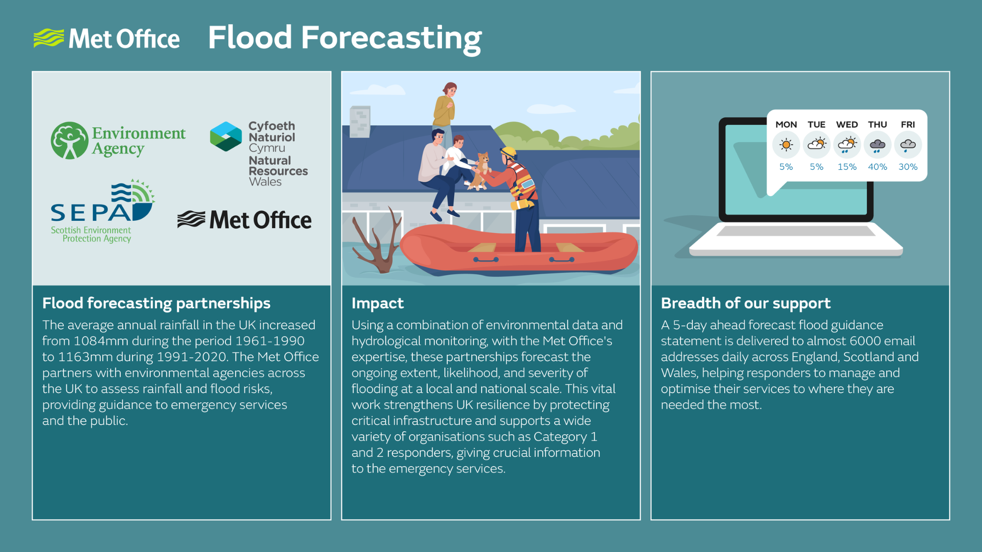
Flood Forecasting
Working in partnership to help monitor and prepare for flood risks
The Met Office provides a range of services that help authorities prepare for and respond to emergencies that are caused or influenced by the weather.
Flood Forecasting Centre (FFC)
The FFC is a partnership between the Met Office and the Environment Agency combining our meteorology and hydrology expertise to forecast for river, tidal and coastal flooding as well as extreme rainfall which may lead to surface water flooding.
Scottish Flood Forecasting Service (SFFS)
The Met Office and Scottish Environment Protection Agency (SEPA) are working in partnership to predict the timing and likelihood of flooding for Category 1 or 2 responders in Scotland.
Scottish Flood Forecasting Service
Natural Resources Wales (NRW)
The Met Office and Natural Resources Wales (NRW) are working in partnership to monitor rainfall, river levels and sea conditions to forecast the possibility of flooding in Wales.
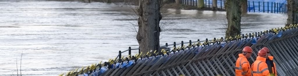
UK Coastal Monitoring and Forecasting (UKCMF) service
The Met Office provides advice on the effects weather may have on sea level and wave action. This is funded as part of the UKCMF by the Environment Agency to help them assess flood risk and allowing them to issue timely warnings of coastal flooding to those who may be impacted.
The service:
-
operates a network of automated tide gauges for vital real-time data;
-
is responsive and efficient with 24-hour coverage;
-
provides a negative surge warning service for shipping.
UKCMF is a collaboration of public bodies working together to provide a comprehensive Coastal Monitoring and Forecasting service for the UK. Partners in the UKCMF service;
NOC National Tidal and Sea Level Facility
For more information about our services for Government, please email us.