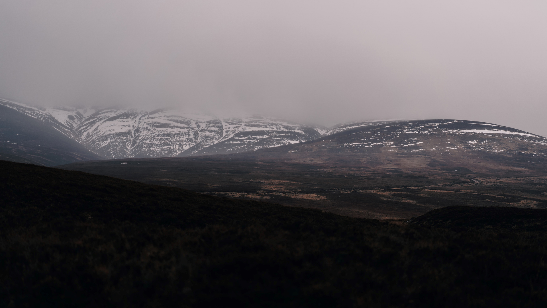
We take a look at where some snow headlines come from, and how to know if snow is actually in the forecast.
One easy forecast to make for the months ahead is for some excitable online media headlines about snow. But the complexities of forecasting snow, especially at long ranges, means that it can sometimes be hard to work out which headlines are full of fluff and which ones are snow joke.
Snow gets people talking. A recent Met Office survey had snow listed as the second most favoured type of winter weather in the UK, just behind crisp blue skies.
But snow also has the potential to bring disruption for many. This is why it’s a topic that the online media likes to discuss frequently, with some headlines which sometimes don’t reflect the reality of the forecast.
How a snow event would be forecast
Forecasting impactful snow is famously tricky in the UK and there are a number of factors that our expert meteorologists look for. These include:
- Where the air has come from: If air has come from a warmer area, or has spent a long time over warm seas, then it would be harder to generate snow. If it’s coming from a cold region, often the north, then there’s a chance of snow being a possibility.
- Very heavy precipitation: Most precipitation in the clouds starts off as snow or supercooled raindrops. This often melts before it comes to ground. However, in winter, intense precipitation can keep temperatures lower closer to the ground, increasing the chance of heavy rainfall turning into snow.
- When warm air meets cold air: Presenters often talk about weather fronts between warm and cold air. In the winter, these fronts can introduce the moisture and conditions for snow to fall. There’s often a fine line between who see snow and who see rain, which is one of the reasons forecasting snow can be difficult.
Because of these competing elements, accurately forecasting a specific snow event more than a few days in advance is a tricky task.
While it’s hard to forecast snow accurately more than a few days ahead, there are indicators that our meteorologists look out for to understand the chances and uncertainties.
Mark Sidaway is a Deputy Chief Meteorologist at the Met Office and looks at the medium and extended range forecasts. He said: “Despite what some headlines suggest, it’s not possible to accurately pick out an ‘exact date’ for snow to hit the UK weeks in advance, but we do have some long-range outputs that can help us to understand the chances.
“Different projections of the future are run multiple times through weather forecasting models. Often these will be quite similar at short ranges, but by the time you get weeks ahead, these can have a significant range of possible weather conditions in the future. It’s our job as meteorologists to look at all these projections and understand what it’s telling us about the likelihood of conditions.
“Certainty will tend to increase as we get closer to the time, and the best indication of impactful snow in the forecast would be when a Met Office National Severe Weather Warning is issued.”
Some snow headlines that appear online simply use one of these raw model forecast projections of the future to suggest certainty over a snow forecast for weeks away, but that’s not often reflective of the uncertainties or alternative scenarios that could play out in the intervening period.
Any cold and snow on the way?
After a relatively mild start to November, albeit with much cloud, temperatures are likely to drop back to around average through this week, with largely dry conditions for most but some rain in western Scotland at times.
However, a northerly airflow is likely to drop temperatures further from the north through the weekend and at the start of next week.
Meteorologist Mark Sidaway explained: “While temperatures will gradually decline through this week, there’s potential for a colder period of weather to develop from the weekend. At this range there’s still much detail to be worked out, but a more unsettled start to next week is likely, with a chance of frost and ice for some.
“This drop in temperatures heightens the chance of some snow to high ground in the north of the country, though there is still a minority of scenarios which could bring some snow to lower levels at times. Needless to say, we’ll be assessing the forecast for this period more in the coming days, but a colder spell of weather is likely, with some gusty winds also possible for some.”
A white Christmas?
Despite some headlines being willing to speculate on the specific conditions for Christmas Day, a more definitive forecast for Christmas won’t be available until much closer to the time. A white Christmas in the UK simply needs an observer or an automatic station to report snow falling on Christmas Day, which has been the case for the last three years, though not very widespread.
Find out more about forecasting snow in the UK.
Find out more about understanding the forecasts you might see in some online news.
Find out how to prepare for winter weather with WeatherReady.


