Southern Africa hosts first ‘testbed’ to improve early warning of thunderstorms
Southern Africa remains a region prone to extreme weather, with hundreds of thousands of people and livelihoods put at risk every year. The region is expected to experience an increase in storms as climate change continues.
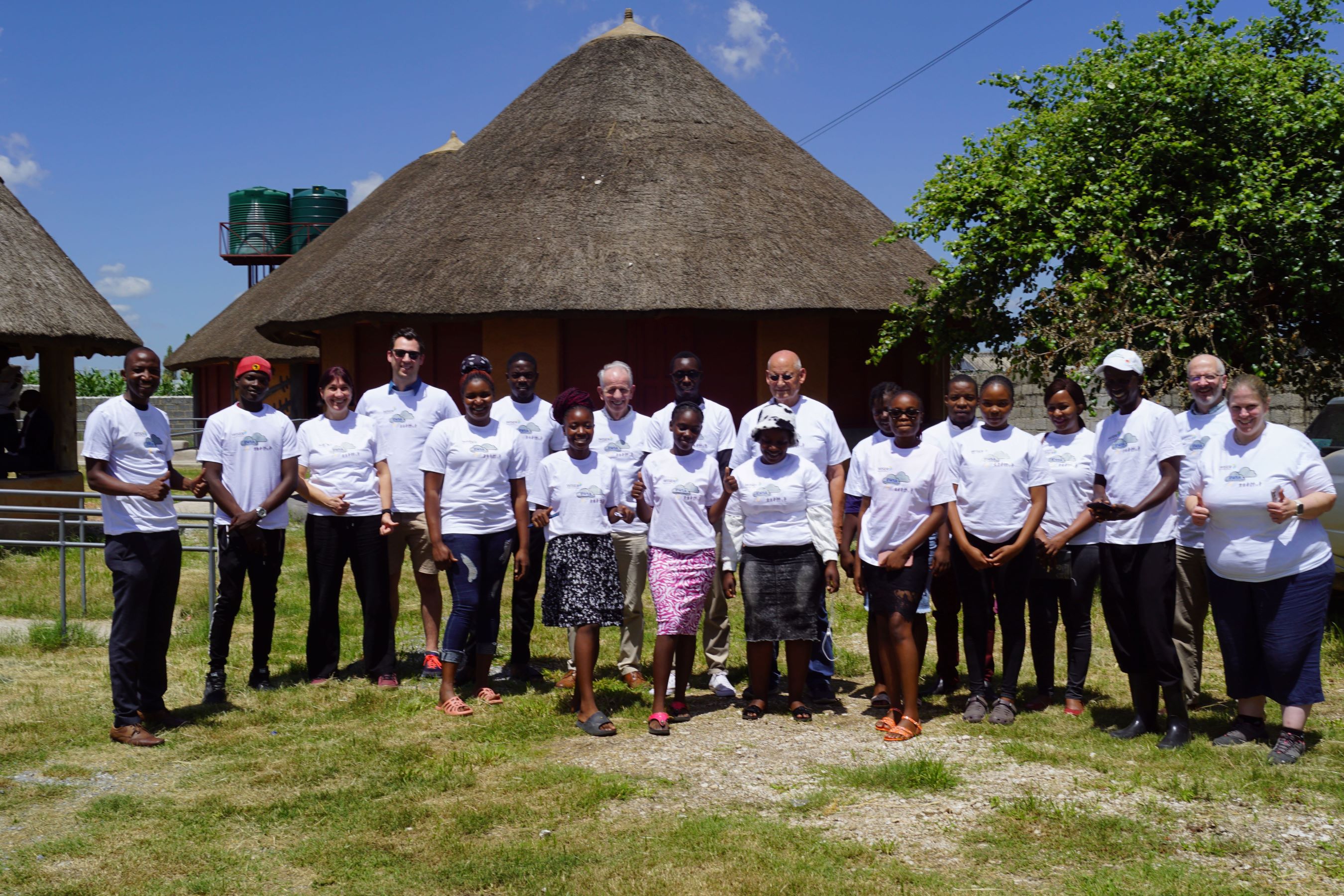
Monday 29 January marked the start of the first Weather and Climate Information Services (WISER) Early Warnings for Southern Africa (EWSA) testbed, with host organisations across South Africa, Mozambique, and Zambia.

 This historic event is the first severe weather forecasting testbed of its kind ever conducted in Southern Africa, and has brought together forecasting experts with community-group leaders and local stakeholders to understand the needs of disadvantaged groups. Throughout the two-week event, teams will evaluate current forecasting capabilities, and explore implementation of state-of-the-art nowcasting methods in severe weather prediction.
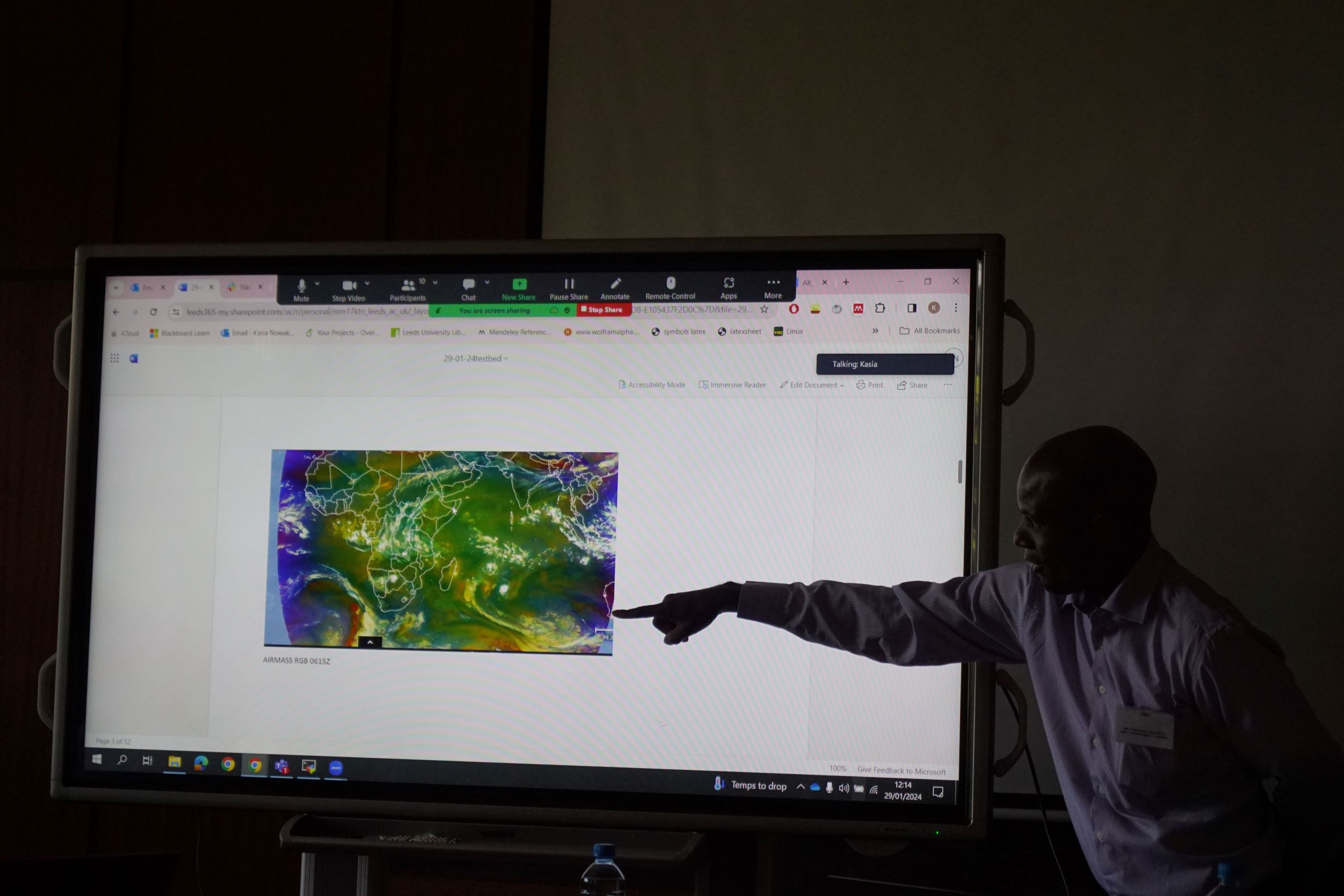
By simulating real-time nowcasting and short-range forecasting, Meteorologists, Scientists, Economists, and User Engagement specialists will team up to create warnings of severe weather, deliver these to partnering user groups, and co-evaluate the effectiveness of those warnings.
Forecasting activities are taking place at the offices of the Zambian Meteorological Department (ZMD) in Lusaka, with satellite sites at the South African Weather Service (SAWS) in Pretoria and the National Meteorology Institute Mozambique (INAM) in Maputo. Related community engagements – an equally crucial aspect – are taking place in Kanyama, west of Lusaka; Katlehong, south-east of Johannesburg; and Boane in southern Maputo.

From the testbed, WISER EWSA seeks to generate novel weather information and ensure that this is communicated and used for disaster risk reduction decision-making, and will co-produce critical early warning alerts for and with urban populations. This requires several elements including expanding capacity for nowcasting among National Meteorological and Hydrological Services in South Africa, Mozambique, and Zambia; understanding the decision contexts of urban populations in order to set appropriate alert levels; and ensuring that the resulting co-produced early warning alerts reach the people who can use these to reduce risk.
Insights gained from the exercise will inform the design and delivery of a second testbed scheduled for early 2025.
Economists working on the project are also looking at the value chain of Early Warning Systems in participating countries to ensure that the investments are made where they create the most value and benefit for the people. The aim is to create a sustainable model for producing weather warnings that is accessible to diverse urban communities, in particular including women and people with disabilities.
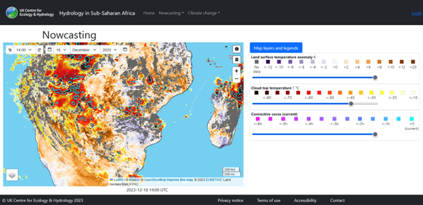
This event follows news that a nowcasting portal developed by the UK Centre for Ecology and Hydrology (UKCEH) and Agence Nationale de l'Aviation Civile et de la Météorologie (ANACIM) to help forecasters in West Africa predict severe weather in the next six hours has gone live over Southern Africa. Alongside observations of the storms themselves, the portal provides unique analysis in near-real time of land surface conditions (soil moisture and surface temperature) which provides an additional source of predictability for convective storms. The utility of the portal will be tested by forecasters and researchers during this testbed event.


View the most recent reports from the testbed event:
Thursday 1 February 2024 (Part 1)
Thursday 1 February 2024 (Part 2)


