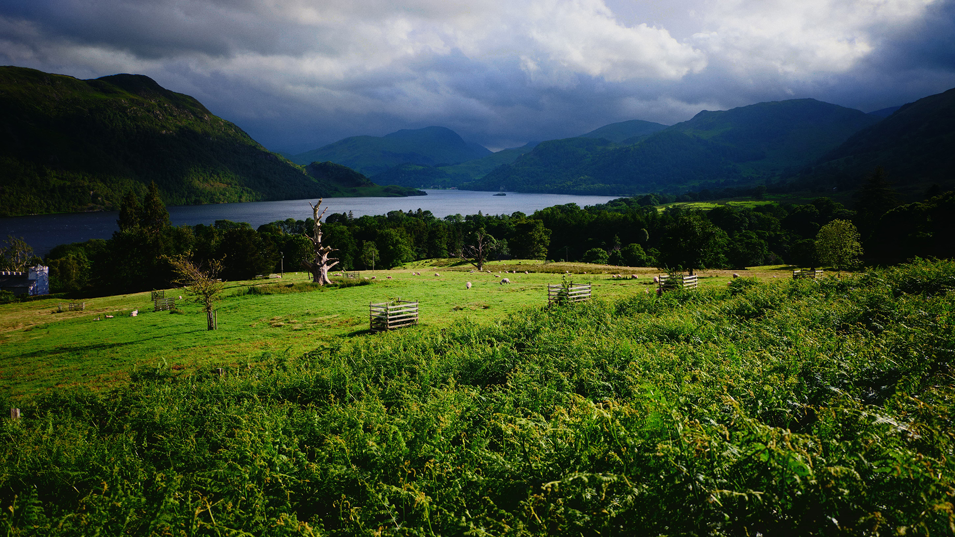
Cold conditions persist with chance of some snow this weekend in the north
Author: Press Office
12:18 (UTC) on Fri 14 Feb 2025
High pressure to the north and east of the UK continues to bring cloud and cold air across the UK, with a chance of some snow over higher ground in Scotland and Northern England this weekend.
High pressure to the north and east of the UK continues to bring cloud and cold air across the UK, with a chance of some snow over higher ground in Scotland and Northern England this weekend.
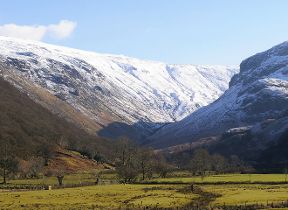
A Yellow National Severe Weather Warning has been issued for snow and ice from 6 am to 2 pm on Saturday covering parts of northern England, while the UK Health Security Agency has issued a cold weather alert covering parts of the northeast of England, Yorkshire and The Humber.
⚠️ Yellow weather warning issued ⚠️
— Met Office (@metoffice) February 14, 2025
Snow & ice across northern parts of England
Saturday 0600 – 1400
Latest info 👉 https://t.co/QwDLMfRBfs
Stay #WeatherAware⚠️ pic.twitter.com/w0t1p5XeAx
Chances of snow in some parts of the UK
Weather fronts coming into western parts of the UK will make slow progress through Friday, as they are held at bay by the high pressure system, although some heavier rain for a time will fall in southern Wales and southwestern England.
Met Office Chief Meteorologist, Matthew Lehnert, said: “Through Saturday the rain will move further east and as it does, it’ll bump into the colder air meaning some snow is likely, mainly for parts of Northern England, covered by the snow and ice warning. 2 – 5 cm is possible over the Cheviots and North Yorks Moors, and it's possible we could see some localised accumulations to lower levels. Some freezing rain could affect higher parts of the Pennines for a time too leading to icy conditions. Some snow is possible outside the warning area, although amounts are likely to be small.”
Weather next week
The cold air will still be close by through Sunday and Monday. Southern parts of the UK will be mostly dry but cloudy, but further north rain, drizzle and some hill snow will continue in places. Brighter conditions with spells of sunshine are likely to develop for many areas on Tuesday before milder and more unsettled conditions begin to move in from the Atlantic during the second half of next week.