Amber warning for rain issued for parts of Wales
Author: Press Office
11:04 (UTC) on Sun 23 Feb 2025
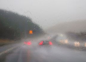
A number of warnings have been issued as a deep area of low pressure brings a period of heavy rain and strong winds to much of the west and north of the UK.
Heavy rain will accompany the strong winds, particularly in the west and north today, making for very poor weather conditions, and National Severe Weather Warnings have been issued covering large swathes of the UK.
⚠️⚠️ Amber weather warning issued ⚠️⚠️
— Met Office (@metoffice) February 23, 2025
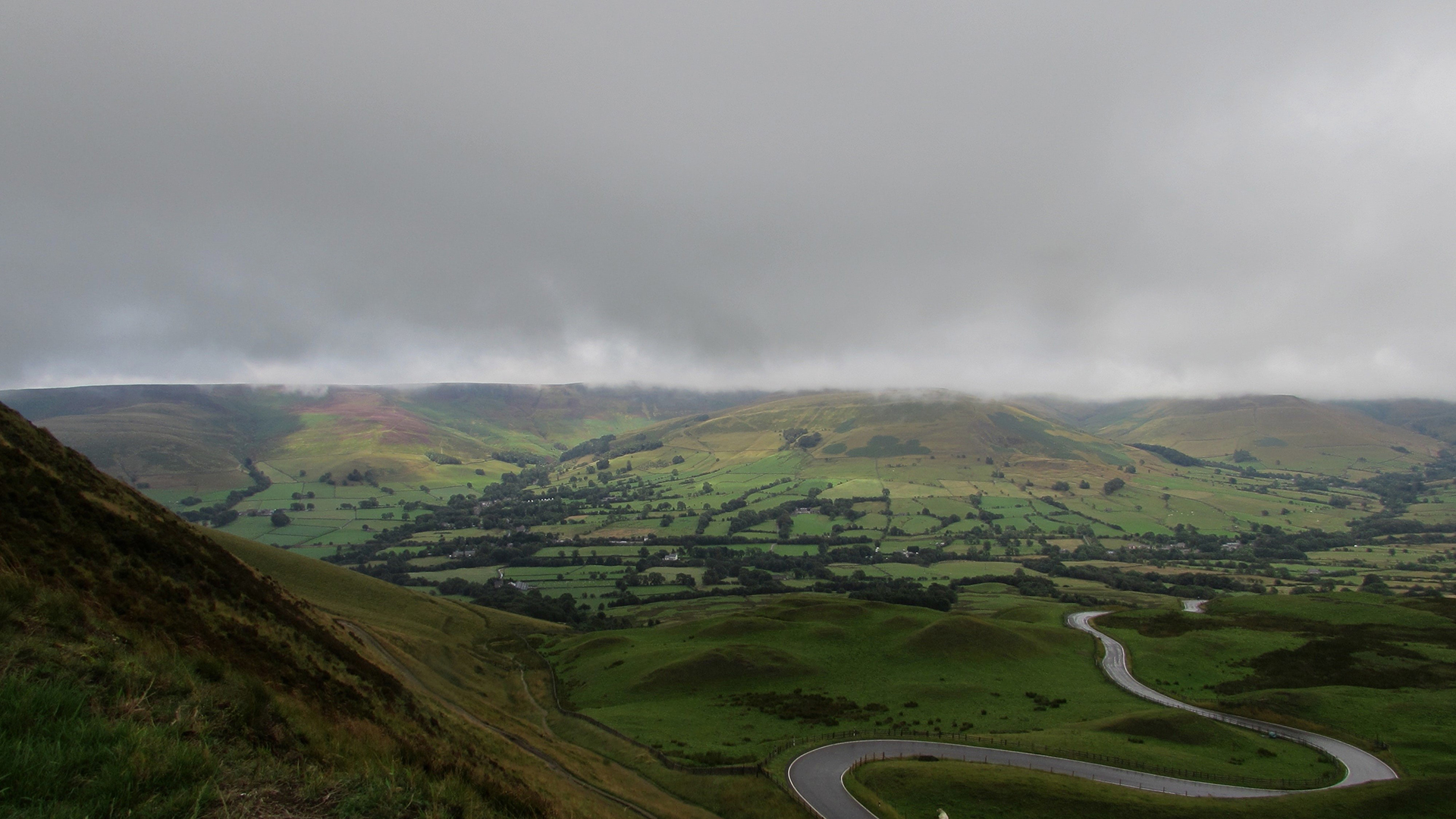
Heavy rain across southern parts of Wales
Sunday 15:00 to 06:00 Monday
Latest info 👉 https://t.co/QwDLMfRBfs
Stay #WeatherAware⚠️ pic.twitter.com/6WECjHOklE
Met Office Chief Meteorologist, Andy Page, said: “We are now entering of period weather being influenced by low pressure systems from the Atlantic. Strong winds and heavy rain during Sunday will bring the potential for travel disruption, dangerous conditions near coasts and the possibility of power cuts for some.”
“As well as a number of yellow warnings for wind and rain we have issued an amber rain warning covering part of South Wales. Higher ground within this area could see 50 – 70 mm of rain this afternoon, evening and overnight with a few locations seeing 80 – 100 mm. As this rain is falling in an area where the ground is already wet there is the likelihood it could cause some impacts.”
“It is also windy with many central, northern and western parts of the UK seeing gusts of up to 50-60 mph at times, and as much as 65-75mph in exposed spots along Irish Sea coastlines, Scottish Islands, and other areas of high ground further inland.”
For those away from warnings, conditions will still be blustery and wet at times, although some parts in the east may remain largely dry until this evening.
Further unsettled weather to come
The westerly set-up for the UK’s weather is likely to continue next week, with showers and possibly some longer spells of rain and windy conditions likely at times. After a very mild few days, temperatures will drop back closer to average for the time of year for most places.
Keep up to date with weather warnings, and you can find the latest forecast on our website, on YouTube, by following us on X and Facebook, as well as on our mobile app which is available for iPhone from the App store and for Android from the Google Play store.