Wind, rain and snow affecting New Year transition
Author: Press Office
13:58 (UTC) on Sun 29 Dec 2024
A combination of rain, strong winds and snow are featuring in the UK forecast for the New Year transition period.
A series of Yellow NSWWS warnings are in place for these hazards in various parts of the UK from Monday 30 December until Thursday 2 January 2025.
From later today [Sunday 29 December, 2024] and into Monday and Tuesday a pulse of heavy rain and snow will affect Scotland from the Central belt northwards. From Perthshire northwards and eastwards this precipitation is likely to fall as snow for a time leading to 10-20cm accumulations over higher ground. Strong winds could create blizzard-like conditions for a time, but as milder air pushes in behind, the precipitation will readily turn to rain.
It will be an unsettled week ahead with a series of low pressure systems moving across the country.
— Met Office (@metoffice) December 29, 2024
These will bring the risk of heavy rain, strong winds and some snow.
Warnings have been issued so please stay #weatheraware if you have plans over the New Year/Hogmanay period ⚠️ pic.twitter.com/CoE5VkS6tw
Andy Page is a Chief Forecaster with the Met Office. He said: “There is a very complicated weather forecast for the UK with snow, strong winds and heavy rain all feature for parts of the UK. Almost the entire UK is covered by at least one weather warning during the coming week. With such a varied and complex weather situation there is potential for the pattern of warnings to shift and possibly escalate in some areas.
“With lots of celebrations and people on the move over the coming days, we are urging everyone to keep checking the forecast so they can update their plans.”
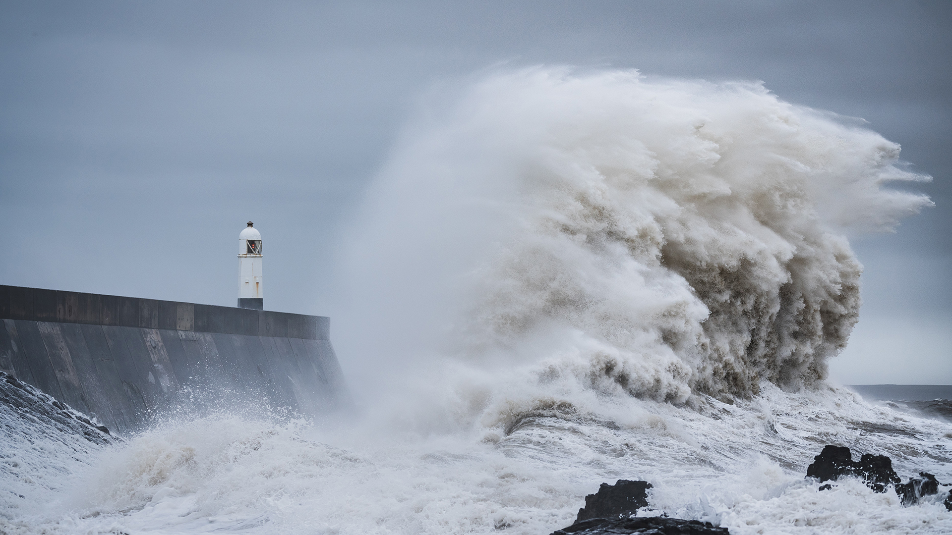
On Monday and New Year’s Eve winds will strengthen across Northern Ireland, and northern England and southern Scotland. Gusts of up to 70mph in exposed locations can be expected, and this could cause some disruption.
New Year’s Day
New Year’s Day will begin with snow affecting parts of Northern Ireland, southern Scotland and northern England as an area of low pressure moves eastwards across the UK and encounters colder air. Tony Wisson is a Deputy Chief Forecaster. He said: “Locally, there could be accumulations of 10-15cm of snowfall, with larger amounts over the higher hills, and with associated strong winds we could see drifting snow in some parts.” Across England and Wales strong winds will be a feature. These areas are covered by a Yellow NSWWS wind warning on both Wednesday and Thursday. This warning highlights the potential wind gusts of up to 65-75 mph in exposed locations.
You can find the latest forecast on our website, on YouTube, by following us on X and Facebook, as well as on our mobile app which is available for iPhone from the App store and for Android from the Google Play store.


