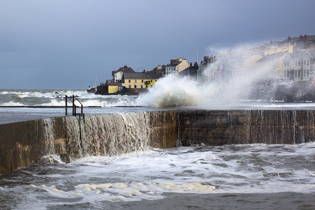
Storm Darragh has been named
Author: Press Office
10:08 (UTC) on Thu 5 Dec 2024
Storm Darragh will bring impacts to large parts of the UK from later tomorrow and into Saturday.
Storm Darragh follows on from a period of unsettled and squally conditions. The large area of low pressure is expected to bring a period of strong winds to much of the UK. Heavy rain will also be a feature of Storm Darragh with the heaviest rainfall expected to be focussed in the northern and western parts of the warning area. Some hill snow in the north in areas above 200m elevation can also be expected.
#StormDarragh has been named and is forecast to bring very strong winds and heavy rain to the UK later on Friday and through the weekend #WeatherAware ⚠️ pic.twitter.com/xqPH9hvqxs
— Met Office (@metoffice) December 5, 2024
Jason Kelly is a Met Office Chief Forecaster. He said: “Storm Darragh is an evolving system and will bring several hazards, including wind gusts of up to 70-80mph around western coasts, especially from Devon and Cornwall to southwest Scotland and Northern Ireland. Wind speeds in inland areas will be slightly reduced with maximum gusts expected to reach 60-70mph.”
A series of Yellow weather warnings will remain in force until Sunday. On Saturday an Amber weather warning for wind is in place to cover the areas at risk of the greatest impacts from Storm Darragh. For the latest weather situation please stay up to date with the National Severe Weather Warnings.
Thursday and Friday
The period ahead of Storm Darragh’s arrival will also be unsettled. Jason Kelly added: “Today we will see bouts of heavy rain and squally winds moving eastwards across the UK with the bulk of the rain moving away from the UK by late evening. Tonight, will remain largely dry with clear skies ahead of Storm Darragh which will begin to impact Northern Ireland Friday evening.”
Driving safety
Dale Hipkiss, Duty Manager at National Highways, said: “If you're planning to drive over the next few days, prepare in advance for the journey and take extra care on the roads. If weather conditions become challenging, adjust your driving behaviour to manage the conditions as safely as possible. It’s also a good idea for drivers to check their vehicles, such as tyres, coolant and oil levels, before heading out to reduce the risk of breakdowns.”
You can find the latest forecast on our website, on YouTube, by following us on X and Facebook, as well as on our mobile app which is available for iPhone from the App store and for Android from the Google Play store.
In Europe, the UK, Ireland and the Netherlands work together as the western storm naming group and storm names are compiled jointly between Met Éireann, the Met Office and KNMI (The Dutch national weather forecasting service). Find out more about naming storms in the UK here.


