Storm Darragh brings 90mph gusts and heavy rain
Author: Press Office
09:55 (UTC) on Sat 7 Dec 2024
Storm Darragh is moving across the UK bringing very strong winds, heavy rain and some hill snow.
Today will be a very windy day across the UK, especially in the West. A Red Severe Weather Warning for wind has been in force until 11:00 7 December for western and southern Wales as well as English counties around the Bristol Channel. In Wales gusts of 93mph were recorded overnight at Capel Curig and 92mph Aberdaron.
#StormDarragh continues to bring strong winds across the UK, with Red, Amber and Yellow wind warnings in force ⚠️ https://t.co/QwDLMfRBfs
— Met Office (@metoffice) December 7, 2024
Here are the highest wind gusts so far 👇
Stay #WeatherAware ⚠️ pic.twitter.com/mHjUZeD4UW
Multiple severe weather warnings are in force across the UK for Storm Darragh. An Amber warning for wind covers the whole of Northern Ireland as well as the western coasts of Wales and England, the whole of England and Wales are covered by a Yellow warning for wind until tomorrow.
An amber warning for Rain is also in force for parts of South Wales where up to 80-90mm of rain may fall over the course of the storm. Further Yellow rain warnings are in force for the rest of Wales and parts of southern and eastern Scotland.
For the latest weather situation please stay up to date with the National Severe Weather Warnings.
#StormDarragh has brought increasingly strong winds overnight, but they are set to peak in the next few hours across parts of Wales and southwest England 🌬️
— Met Office (@metoffice) December 7, 2024
Stay safe if you are out this morning, and keep up to date with the latest warnings ⚠️
👉 https://t.co/j7ojlIej4g pic.twitter.com/Vg3O770gyd
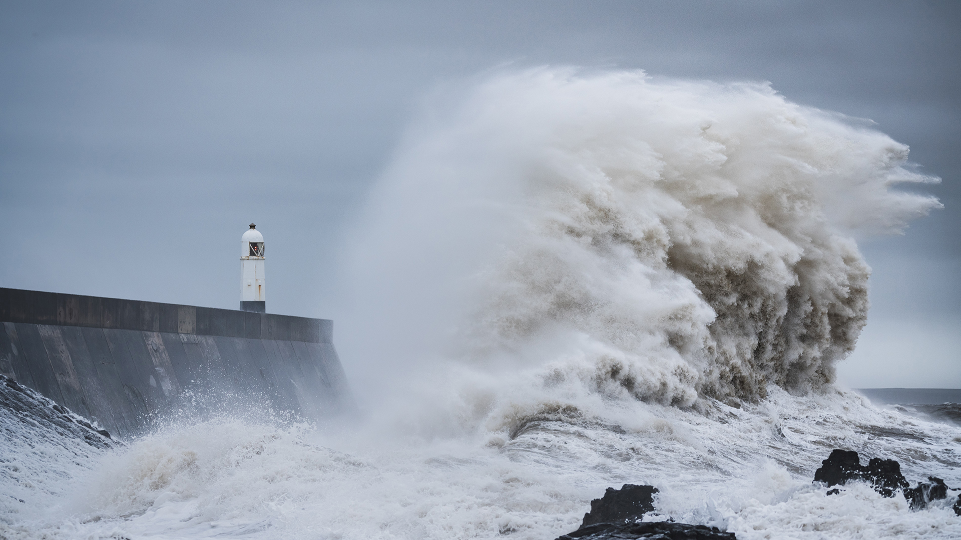
Met Office Chief Meteorologist, Steve Willington, said: “Storm Darragh is now moving across the UK bringing very strong winds, heavy rain and in Scotland some snow over the higher ground. These very strong winds will bring significant disruption, with the risk of flying debris, falling trees, large waves along the coast and power cuts. During this spell of severe weather it is important to listen to responders and emergency services in your area and keep up to date with the latest weather forecast.
“Storm Darragh will gradually ease from late morning as it crosses the UK, so the strongest winds in the west will start to reduce through Saturday. As the low pressure moves away to the east, colder northerly winds will move across the UK bringing the risk of overnight frosts and some wintry showers over high ground in the north on Sunday. By Monday high pressure becomes centred over the north of the UK and conditions will become much more settled.”
Staying safe in strong winds
Don't risk injury to others or damage to your property, check for loose items outside your home and plan how you could secure them in high winds. Items include:
- bins
- plant pots
- garden furniture (bring inside or secure in place)
- trampolines (turn upside down or secure with tent pegs)
- sheds (ensure doors are locked) like bins, plant pots, garden furniture or trampolines
Being outside in high winds makes you more vulnerable to injury. Stay indoors as much as possible. If you do go out, try not to walk or shelter close to buildings and trees.
You can find the latest forecast on our website, on YouTube, by following us on X and Facebook, as well as on our mobile app which is available for iPhone from the App store and for Android from the Google Play store.


