Storm Bert named
Author: Press Office
10:21 (UTC) on Thu 21 Nov 2024
A deep area of low pressure, which will bring impacts to large parts of the UK on Saturday and Sunday, has been named.
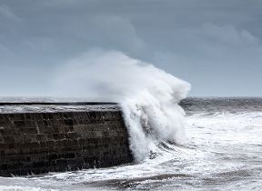
Storm Bert will reach the UK on Saturday, bringing heavy rain and snow, together with strong winds to large swathes of the country. A number of National Severe Weather Warnings have been issued for Saturday and Sunday.
#StormBert has been named and is forecast to bring heavy rain, strong winds and disruptive snow to parts of the UK through the weekend #WeatherAware ⚠️ pic.twitter.com/Yh9LyEAIBo
— Met Office (@metoffice) November 21, 2024
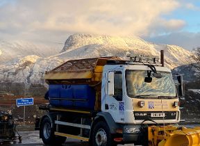
Ahead of Storm Bert, wintry showers will continue to impact parts of the UK on Thursday and Friday, particularly exposed areas in the north, and there are still a number of National Severe Weather Warnings in place for snow and ice.
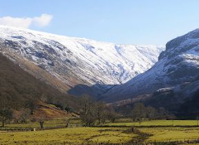
Met Office Deputy Chief Meteorologist Dan Holley said: “Storm Bert marks a shift to much milder air and wintry hazards will gradually diminish through the weekend, but heavy snowfall is expected across parts of northern England and Scotland for a time on Saturday, especially over higher ground, and warnings are in place.”
“Heavy rain through Saturday and Sunday, especially in southern and western parts of the UK, will also bring impacts for some with a number of warnings in place. We expect 50-75 mm of rainfall quite widely within the warning areas, but in excess of 100 mm is possible over high ground in parts of Wales and southwest England.”
“In addition, rapid melting of lying snow over the weekend and periods of strong winds are likely to exacerbate impacts and bring the potential for travel disruption, as well as flooding for some.”
The UK Health Security Agency (UKHSA) has issued a number of amber and yellow Cold Health Alerts covering the whole of England. This alert system is aimed at health and social care professionals and anyone with a role in reducing health impacts caused by extended periods of cold weather. You can receive alerts directly via email by signing up for alerts or contact UKHSA for more information.
RAC Breakdown spokesperson Alice Simpson said: "The first taste of winter means drivers are suddenly contending with the some of the worst road conditions we’ve seen all year. With freezing temperatures already causing disruption in the east and north of England, Wales, Scotland and Northern Ireland, and snow showers now affecting regions further south, we advise motorists to plan well as ice forms on untreated surfaces.
“Drivers should ensure their tyres have plenty of tread and are inflated to the correct pressure to give them the best possible grip on the road. It’s best to stick to major roads, rather than rural areas where surfaces may not be gritted, reduce speeds and leave plenty of space behind the vehicle in front to ensure you have more time to stop. Everyone should travel prepared in case they find themselves broken down at the side of the road: a blanket, warm waterproof coat and gloves, sturdy footwear and a charging cable and mobile power bank are all essentials.”
Further Ahead
Unsettled weather is likely to continue into the start of next week, with strong winds and some showers for many parts. Although temperatures will be around average for most places, strong winds mean it will feel rather cold.
Looking further ahead there are indications we could see a brief return to colder conditions with wintry showers for a time, especially in the north, before it becomes unsettled and milder again at then end of next week.
You can find the latest forecast on our website, on YouTube, by following us on X and Facebook, as well as on our mobile app which is available for iPhone from the App store and for Android from the Google Play store.
In Europe, the UK, Ireland and the Netherlands work together as the western storm naming group and storm names are compiled jointly between Met Éireann, the Met Office and KNMI (The Dutch national weather forecasting service). Find out more about naming storms in the UK here.


