Drier interlude but further rain to come
Author: Press Office
11:46 (UTC+1) on Tue 24 Sep 2024
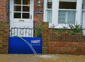
A very wet few days, which led to flooding for some, is being briefly replaced with a drier interlude, with further rain likely later this week.
Early provisional figures show some places in Oxfordshire had in excess of 100mm of rain on Monday, with South Newington seeing 111.4mm of rain, which is more than double the county’s long-term average for September.
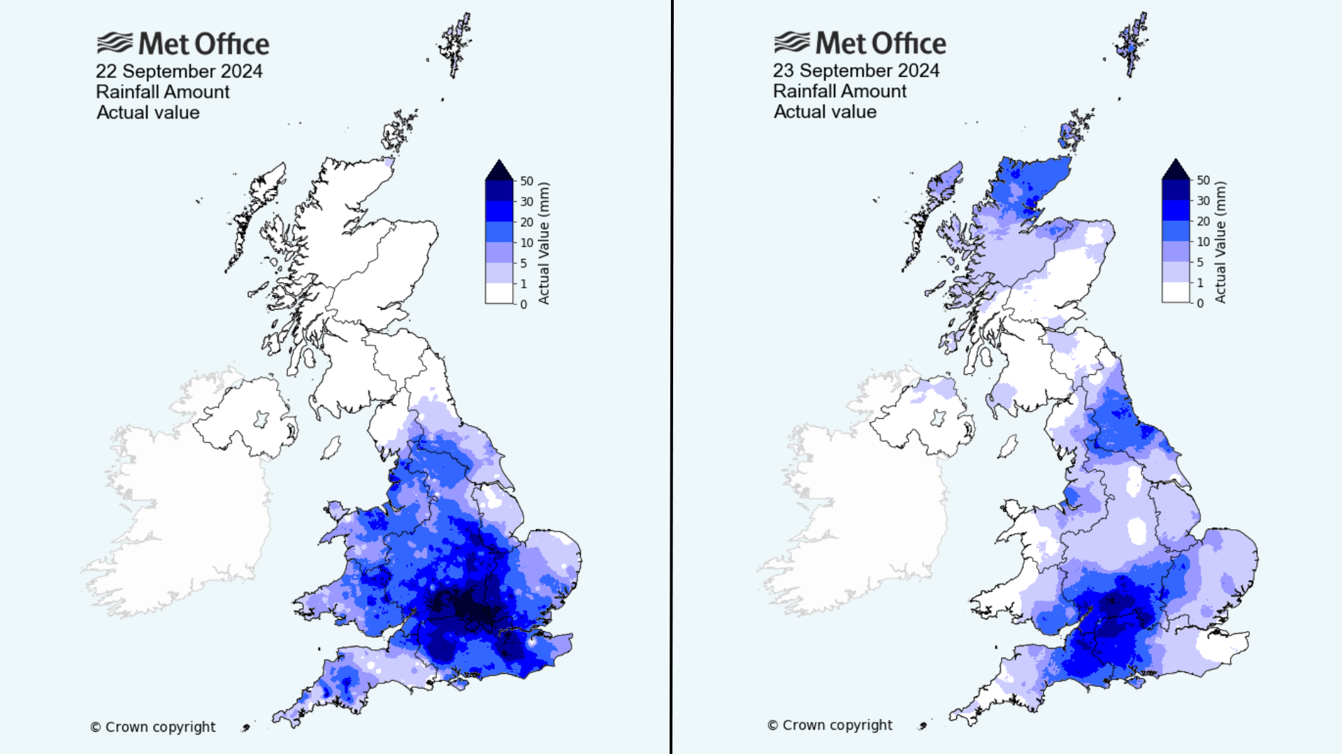
Met Office Chief Meteorologist Paul Gundersen said: “The rainfall from Monday has now cleared away to leave a drier interlude for many, whilst some residual rain moves southwards across parts of Scotland. This drier spell will last until early Wednesday for most, before the next area of low pressure brings further rain later on Wednesday and into the latter part of the week.
“Further rain is likely for parts of England and Wales on Thursday. If and where this falls on saturated ground, the sensitivity to potential impacts is increased. At present, the heaviest rain looks like falling across east-facing hills of northern England, although there is some uncertainty in the regional focus.”
A warning for rain has been issued in northern and eastern areas of England on Thursday, with the highest rainfall totals likely across the Pennines and North York Moors where 80-100mm could accumulate during the day, while others within the warning area could see 20-30mm quite widely, and in excess of 50mm in some locations.
⚠️ Yellow weather warning issued ⚠️
— Met Office (@metoffice) September 24, 2024
Rain across northern parts of England
Thursday 0000 – 2359
Latest info 👉 https://t.co/QwDLMfRBfs
Stay #WeatherAware⚠️ pic.twitter.com/XmNRbEv95O
Turning cooler in the weekend
After a wet day for many on Thursday, Friday will see further outbreaks of rain in central and southern areas of the UK, with some sunny spells further north. It’ll also be turning cooler for much of the UK ahead of the weekend, with a shift in the dominant weather regime.
Met Office Deputy Chief Meteorologist Brent Walker said: “After the rain through much of this week, things will be turning decidedly cooler into the weekend, with frost likely for much of the UK overnight on Friday and a more autumnal feel to daytime temperatures.
“A north-westerly flow of air is developing, bringing cooler air from the north over the UK and dropping temperatures into the weekend and possibly below freezing overnight for some. Some isolated showers are possible through the weekend, though it will largely be drier for many, with some sunny spells.
“There’s potential for further wet and windy weather late on Sunday and into the start of next week, though there is much detail to be determined on the exact conditions so stay up to date with the latest forecast.”
You can find the latest forecast on our website, on YouTube, by following us on Twitter and Facebook, as well as on our mobile app which is available for iPhone from the App store and for Android from the Google Play store.