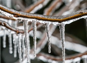
Turning cold then unsettled
Author: Press Office
12:14 (UTC) on Mon 2 Dec 2024
The start of this week will see a temporary return to colder conditions with the potential for wintry hazards in the north of the UK.
Met Office Chief Meteorologist, Steve Ramsdale, said: “Northerly winds are bringing chillier weather across the UK through Tuesday. This brings the likelihood of some snow over higher ground in Scotland and northern England at times on Tuesday as well as a widespread frost here, particularly on Monday night.”
A Yellow National Weather Warning for ice has been issued for Tuesday night into Wednesday morning in Scotland and a warning for strong winds in parts of north and northwest Scotland from Wednesday afternoon until Thursday morning is also in place.
During midweek the weather will become more unsettled but milder with rain and strong winds late on Wednesday and into Thursday.
Met Office Deputy Chief Meteorologist, Chris Bulmer, said: “At this time is looks like the unsettled conditions will continue into the weekend with a deep low-pressure system probably crossing the UK into Saturday bringing strong winds and rain to some areas. Weather warnings will be issued as the details of the developments and hazards become clearer.
"Given the potential for disruption from this system it is important to keep up to date with the latest forecast."
Once this low-pressure system has cleared the country it looks likely that colder northerly air will again push down across the UK from the north.
You can find the latest forecast on our website, on YouTube, by following us on X and Facebook, as well as on our mobile app which is available for iPhone from the App store and for Android from the Google Play store.


