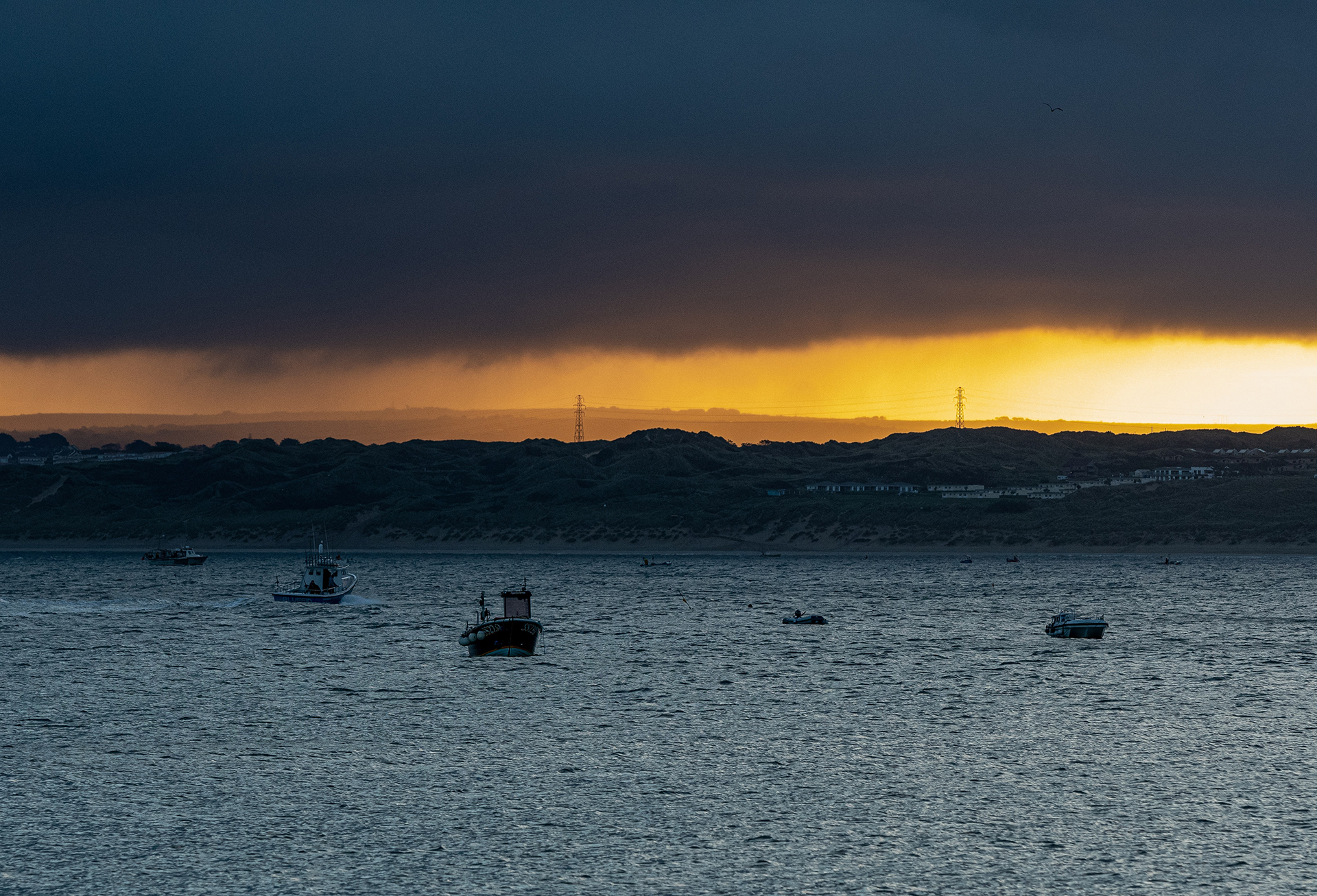
Amber warning for rain issued
Author: Press Office
11:40 (UTC+1) on Thu 26 Sep 2024
A number of warnings for rain have been issued as an area of low pressure brings heavy rain to parts of England, Wales and Northern Ireland.
The heavy rain and strong northeasterly winds affecting northeast England, and the east of Northern Ireland will ease later today. Meanwhile Wales and the southern third of England will see heavy rain with the chance of thunderstorms. There will also be strong, gusty winds in the far south and South West. Amber and Yellow National Severe Weather Warnings have been issued.
⚠️⚠️ Amber weather warning issued ⚠️⚠️
— Met Office (@metoffice) September 26, 2024
Heavy rain across central parts of England
Thursday 1800 – Friday 0600
Latest info and for all current weather warnings in force👉 https://t.co/QwDLMfRBfs
Stay #WeatherAware ⚠️ pic.twitter.com/fy84TrbgqU
Met Office Chief Meteorologist, Neil Armstrong, said: “We are expecting an area of slow-moving showers and thunderstorms to develop this afternoon and evening across parts of the Midlands. The rain will fall onto already saturated ground, potentially affecting communities still recovering from recent flooding. An Amber warning has been issued covering the areas of increased risk of impacts”
“Some places, especially across the central and eastern parts of the warning area, are likely to receive 30 to 40 mm of rainfall in three hours or less, and perhaps 50-60mm in total this evening and overnight. A number of Yellow warnings for rain have also been issued, you should keep up to date on the latest forecast for your area on our forecast pages. The risk of flooding should be monitored using the warnings on the Environment Agency, SEPA, Natural Resources Wales and NI Direct websites.”
Kate Marks, Flood Duty Manager at the Environment Agency, said: “Heavy rainfall across the country means that significant river and surface water flooding impacts are possible in parts of central England today and into Friday. Minor river flooding impacts are also possible in parts of north-east England today and Friday.
“Environment Agency teams continue to be out on the ground, supporting local authorities in responding to surface water flooding. We urge people to plan their journeys carefully, follow the advice of local emergency services on the roads and not to drive through flood water – it is often deeper than it looks and just 30cm of flowing water is enough to float your car.
“People should check their flood risk, sign up for free flood warnings and keep up to date with the latest situation as well as following @EnvAgency on X for the latest flood updates.”
National Network Manager at National Highways Stephen Basterfield said: “With heavy rain expected to cause further flooding and disruption today and overnight its important people adjust their driving behaviour and take extra care.
“Road users should plan their journey and check the latest updates on diversion routes before they travel as these could be impacted with more rainfall.
“We have a section of our website dedicated to travelling when it is raining, as part of our guide to travelling in severe weather. It’s also a good idea for people to check their vehicles, such as tyres, coolant and oil levels, before heading out to reduce the risk of breakdowns.”
Further Ahead
Met Office Deputy Chief Meteorologist David Oliver said: “The rain will clear south during Friday allowing Arctic air to cross the country. This gives a much colder but quieter interlude in the south on Saturday, although a few showers will spread across northern areas. An area of low pressure then moves in from the southwest later in the weekend and crosses the UK during Sunday and Monday.
“Although there is still some uncertainty about the exact behaviour of this system and therefore where may see any impacts, it will bring the potential for some wet and windy weather late on Sunday and into the start of next week. Stay up to date with the latest forecast for your area.”
You can find the latest forecast on our website, on YouTube, by following us on X and Facebook, as well as on our mobile app which is available for iPhone from the App store and for Android from the Google Play store.


