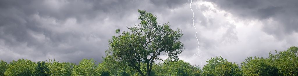
Lightning for some heralds change to fresher conditions
Author: Press Office
11:38 (UTC+1) on Sun 17 Sep 2023
Further thunderstorms for parts of southern and eastern England are a prelude to a shift in the weather forecast leading to fresher conditions in the coming week.
A National Severe Weather Warning for thunderstorms has been issued for parts of southern and eastern England and will come into force at 1pm (Sunday) and expire at 6am tomorrow morning (Monday). This warning complements an existing warning for parts of South West England, which will expire at 6pm today.

Across the warning areas heavy showers and thunderstorms are expected to bring some disruption, including the potential of some surface-water flooding which may extend to some properties. Spray and sudden flooding could lead to difficult driving conditions and potential road closures.
⚠️ Yellow weather warning issued ⚠️
— Met Office (@metoffice) September 17, 2023
Thunderstorms across southeastern parts of England
Today 1300 – Monday 0600
Latest info 👉 https://t.co/QwDLMfRBfs
Stay #WeatherAware⚠️ pic.twitter.com/hniqakDKnT
Steve Willington is a Chief Forecaster with the Met Office. He said: “Some within the warning area could see torrential rain, perhaps even reaching 40mm of rainfall within the hour. Later in the warning period there is a risk of large hail, frequent lightning and gusty winds.”
The Met Office’s David Oliver comments on the longer-term outlook. He said: “During the rest of today (Sunday) and tomorrow we will see a transition to fresher conditions, with the warmth and humidity of recent days being pushed eastwards away from the UK. This will allow fresher and, at times, unsettled conditions driven by what is happening in the Atlantic.”
You can check the latest forecast on our website, by following us on Twitter and Facebook, as well as on our mobile app which is available for iPhone from the App store and for Android from the Google Play store. Keep track of current weather warnings on the weather warning page.