Turning colder and unsettled
Author: Press Office
12:32 (UTC+1) on Mon 28 Mar 2022
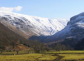
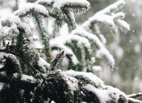
Following a mild spell of mid-March weather, it will be turning colder this week, with showers for many and some sleet and snow, particularly on the high ground in the north.
The change in conditions is taking place as the high pressure - which has been responsible for the dry and mild weather of last week - shifts out to the south, introducing colder Arctic air in from the north. This will bring with it the risk of unsettled conditions for many from Wednesday, with a likely smattering of wintry showers in many parts of the UK. The highest of any accumulations will be on the high ground of Scotland and northern England.
Temperatures have already started to drop for most, but that trend will continue on Tuesday, with a cloudy day for most and a band of rain gradually moving southwards from the north of Scotland heralding a change to the colder conditions.
The band of rain will continue to sink south on Wednesday, with a change to colder conditions sweeping across much of the UK. For those in the north of the UK, especially on the higher ground, this could fall as a wintry mix of sleet and snow.
Maximum temperatures are likely to drop to single figures in many places, with some freezing temperatures overnight.
That unsettled theme will continue through to the weekend, with some further rain for some areas on Thursday, before showers on Friday ahead of a continued unsettled weekend. Temperatures are likely to gradually recover to near-average over the weekend and into next week.
It feels as though spring has just arrived, but a colder spell of weather is on the way 🌷❄️
— Met Office (@metoffice) March 27, 2022
Here are all the details 👇 pic.twitter.com/4rnq6zPxAX
Met Office Chief Meteorologist Neil Armstrong said, “We’re going to be seeing a marked shift in the weather for the UK in the coming week as the warm weather is displaced south.
“Temperatures will drop as cold air sweeps south with single figure maxima for most places from mid-week, and bringing with it the unsettled weather that we’ll see for much of the week. Some clear spells are still around later in the week, with the best of any sunshine likely to be in the south later in the week.”
The drop in temperatures is a risk for some of the nation’s gardeners. The Royal Horticultural Society’s Guy Barter said: “Colder weather will slow plant growth and inhibit plums and pears pollination as insects fly less in cold dull weather. Hard frosts don’t seem likely so magnolias and fruit flowers should escape serious damage.
“Limited rain will help new sowings of peas and carrots for example and newly planted lettuces and other plants but should not greatly delay sowing and planting once conditions improve. Tender plants, petunias and tomatoes for example, won’t be put outside for another month at least but lower light affects greenhouses and will slow their growth.”
You can check the latest forecast on our website, by following us on Twitter and Facebook, as well as on our mobile app which is available for iPhone from the App store and for Android from the Google Play store. Keep track of current weather warnings on the weather warning page.


