News
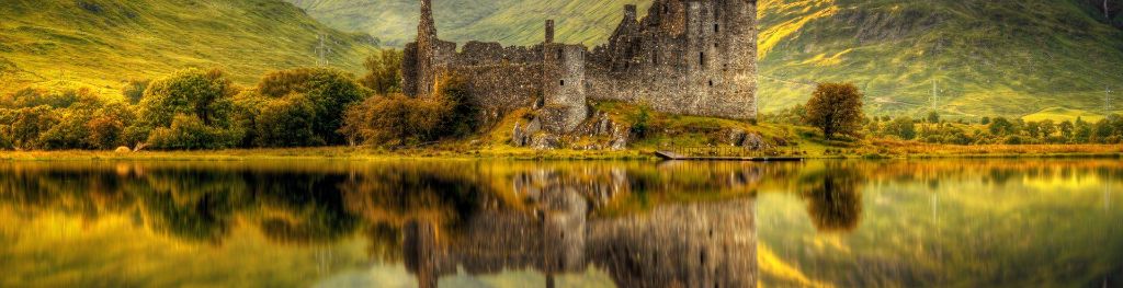
A mixed weekend of sunshine and showers
Whilst we are likely to see some showers at times, there will be plenty of warm sunny weather for many.
Read more
Mainly dull, cloudy Saturday with a few showers. Brighter northwest.
Clear periods for most places at first, particularly over west Argyll. Extensive mist and low cloud arriving during the night with some showery outbreaks of rain. Light east winds. Minimum temperature 8 °C.
Rather cloudy with some dry weather but also further showery outbreaks of rain, heavy at times in the afternoon. Brighter interludes in places, these mainly over north Argyll. Light winds. Maximum temperature 15 °C.
Rather cloudy on Sunday and Monday with showery outbreaks of rain, possibly heavy and thundery at times. Fewer showers and more sunshine on Tuesday. Light winds.
Updated:
Strong signal for a continued build of high pressure across the UK by the middle of next week. This will bring more in the way of dry and fine weather for most areas, although there is still a chance of some showers in places at first, and a risk also of some more persistent rain rounding the high into north-western parts of the country. The high is likely to maintain influence into the weekend before starting to weaken the following week. So a continuation of fine conditions next weekend seems likely, before a return of less settled conditions by the end of the period. Temperatures are expected to be slightly above normal for early May.
Updated:
During the longer range outlook period, there is a greater chance of unsettled weather returning, especially across the south. This means that spells of wet weather are likely for most with no particular location more prone than anywhere else. There are no strong signs for any exceptional temperatures either above or below average, but warm days are possible as are some chilly nights.
Updated: