Stratocumulus clouds
Stratocumulus cloud consists of large, rounded masses of stratus that form groups, lines or waves.
- Height of base: 1,200 - 6,500 ft
- Shape: cumuliform "lump" at base
- Latin: stratus - flattened; cumulus - heap
- Precipitation: light
What are stratocumulus clouds?
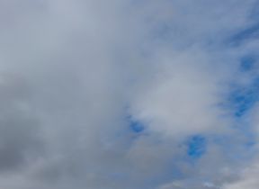
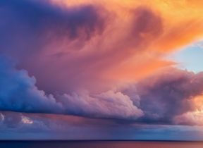
Stratocumulus clouds are low-level clumps or patches of cloud varying in colour from bright white to dark grey. They are the most common clouds on earth recognised by their well-defined bases, with some parts often darker than others. They usually have gaps between them, but they can also be joined together.
How do stratocumulus clouds form?
Stratocumulus clouds usually form from a layer of stratus cloud breaking up. They are indicators of a change in the weather and are usually present near a warm, cold or occluded front.
What weather is associated with stratocumulus clouds?
Stratocumulus clouds can be present in all types of weather conditions, from dry settled weather to more rainy conditions, but they themselves are often not the culprit. Stratocumulus clouds are often mistaken for rain clouds when in reality, it is quite rare to get anything more than the lightest drizzle from them, if anything at all.
How do we categorise stratocumulus clouds?
Stratocumulus clouds are grouped into four different 'species':
- Stratocumulus stratiformis - The most common cloud type across the globe, these are essentially flat-based layers of cloud often with a few cracks between.
- Stratocumulus cumulogenitus - These form when rising cumulus clouds encounter a temperature inversion (a warming of the air above) and spread outwards, clumping together.
- Stratocumulus castellanus - These are thicker, more drizzly stratocumulus clouds. Turreted tops form when convection initiates through the stable layer, allowing stratocumulus to grow upwards and potentially leading to the formation of cumulus congestus or even cumulonimbus.
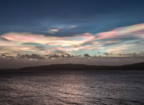
- Stratocumulus lenticularis - The rarest variety of stratocumulus, lenticularis is often spotted in hilly locations. Very different in appearance to the more spectacular altocumulus lenticularis, they form when hills produce atmospheric waves, which contribute to their lens-like shape.


