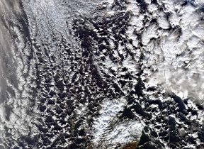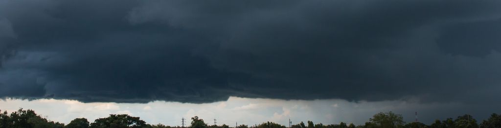
Nimbostratus clouds
Nimbostratus clouds are dark, grey, featureless layers of cloud, thick enough to block out the Sun and produce persistent rain.
- Height of base: 2,000 - 10,000 ft
- Shape: Bands or areas of individual cells
- Latin: nimbus - rainy cloud; stratus - flattened or spread out
- Precipitation: Continuous rain or snow likely
What are nimbostratus clouds?
Nimbostratus clouds are dark, grey, featureless layers of cloud, thick enough to block out the Sun. Producing persistent rain, these clouds are often associated with frontal systems provided by mid-latitude cyclones. These are probably the least picturesque of all the main cloud types.
How do nimbostratus clouds form?
Nimbostratus clouds form through the deepening and thickening of an altostratus cloud, often along warm or occluded fronts. These clouds extend through the lower and mid-layers of the troposphere bringing rain to the surface below.
What weather is associated with nimbostratus clouds?
These mid-level clouds are often accompanied by continuous moderate rain or snow and appear to cover most of the sky. Nimbostratus will often bring precipitation which may last for several hours until the associated front passes over.
If there is hail, thunder or lightning present it is a cumulonimbus cloud rather than nimbostratus.
How do we categorise nimbostratus clouds?
Nimbostratus clouds are featureless, very dense and have little characterisation, so are not classified into 'species' like other cloud types. They are similar to altostratus in this way.